
Master Coordinate Systems, Map Projections and Data Accuracy, for GIS Practitioners
For GIS and cartographic software practitioners a good understanding of coordinate systems and map projections is essential. Location errors can have serious consequences and inappropriate use of map projections can produce poor quality maps that fail to display data in a meaningful way. This course will enhance your GIS core competencies ensuring you produce great maps and avoid any misaligned data. We look to understand the principles involved as well as their practical application. This course is not specific to any particular GIS software, although examples using ArcGIS Pro and QGIS are used.
Course Content
Introduction
Available in
days
days
after you enroll
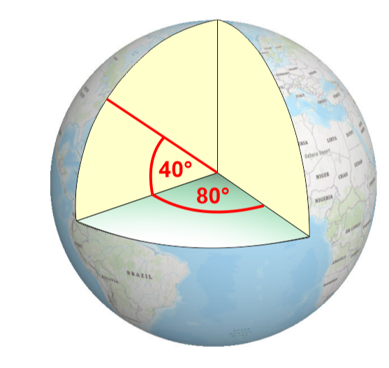
Measuring the Earth
Available in
days
days
after you enroll
Geographic Coordinate Systems
Available in
days
days
after you enroll
Projected Coordinate Systems
Available in
days
days
after you enroll
Coordinate System Best Practise
Available in
days
days
after you enroll